Stoke-on-Trent - photo of the week


contents: 2011 photos


click for
previous
photos

Advert of the Week
Potworks of the Week


Holden Viaduct, Hanley Road, Stoke-on-Trent

  • The name Holden originates from a surname which was originally derived from a place name meaning "deep valley" in Old English.  

  • In this area of Sneyd Green there was a Holden farm from at least 1611, in 1806 Thomas Beech sold it to John Sparrow of Bishton (in Colwich) and John Hales of Cobridge.  By 1848 the 101-acre Holden farm, was owned by Sir George Chetwynd of Brocton (in Baswich) and Grendon (Warws.)

  • The house, situated north of the road from Sneyd Green to Milton, had been abandoned by 1957 when it was occupied as a temporary Methodist church. 

  • On the 1877 and 1898 maps the bridge (originally built in 1844) was called Holden Hill Viaduct. 

  • Other evidence of the name Holden is found in the nearby Holden Avenue (where we find examples of early municipal housing, the now demolished Holden Bridge public house, Holden Lane High School in Milton Road and Holden Bridge Service Station on Leek Road. There used to be a Holden Bridge Stores at 291 Hanley Road. 


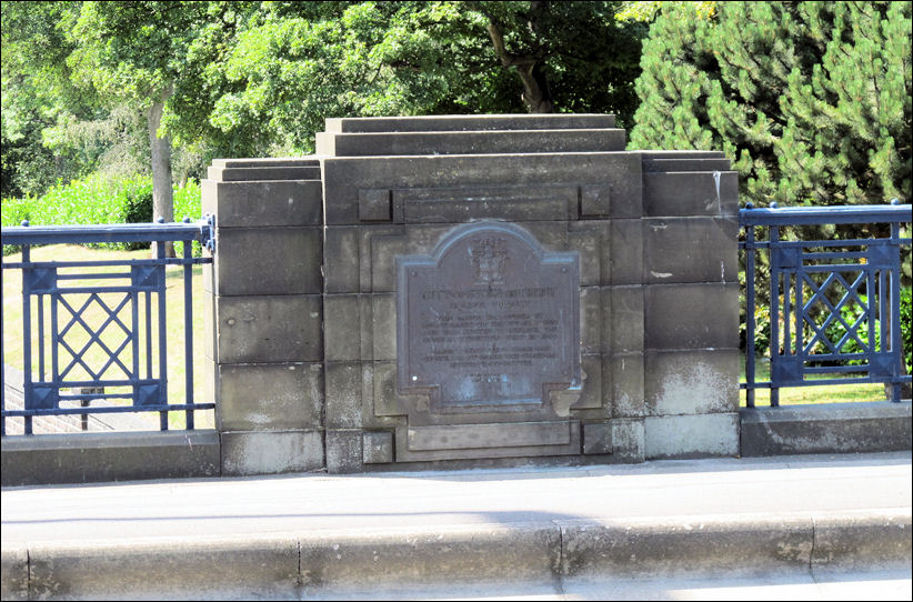
plaque set in the art deco style balustrade on the Holden Viaduct - opened in 1930

photos: August 2011
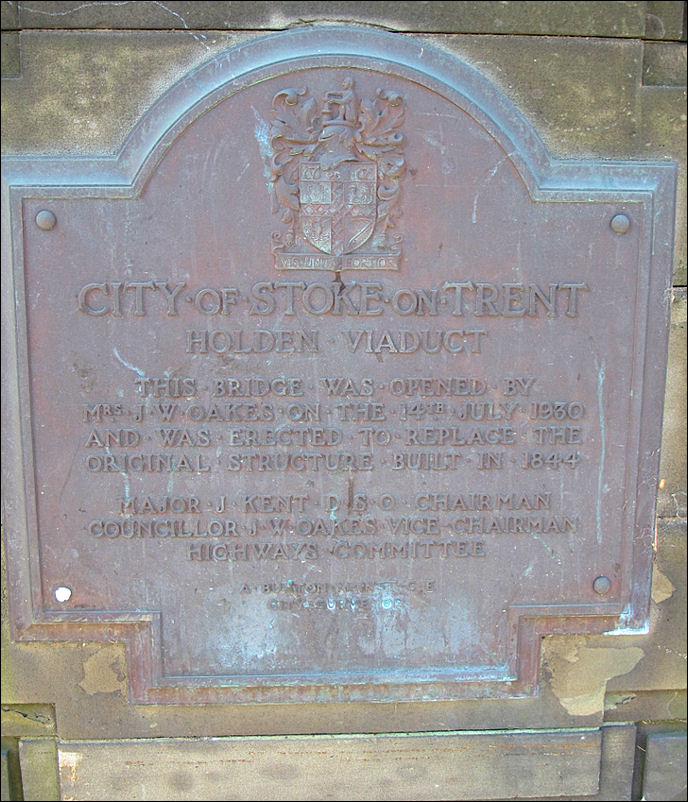


HOLDEN VIADUCT


City of Stoke-on-Trent

HOLDEN VIADUCT

This bridge was opened by
Mrs. J. W. Oakes on the 14th July 1930
and was erected to replace the 
original structure built in 1844

Major J. Kent DSO Chairman
Councillor J. W. Oakes Vice-Chairman
Highways Committee

A. Burton M Institute CE
City Surveyor


view of Holden Viaduct from Hanley Road - in the background is Burslem Cemetery
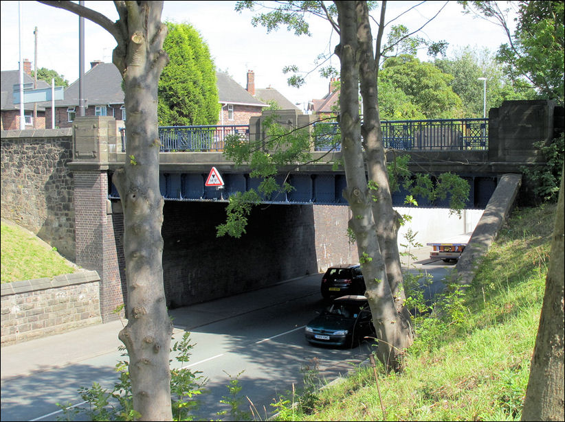
view of Holden Viaduct from Hanley Road - in the background is Burslem Cemetery 


Leek New Road as it goes under the  Holden Bridge
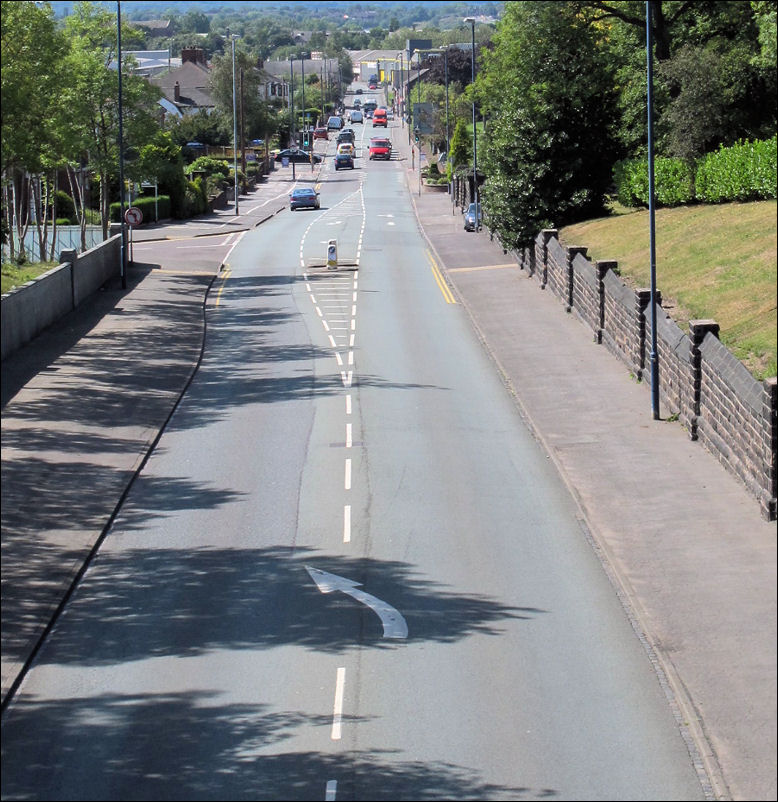
Leek New Road as it goes under the  Holden Bridge 


view down Leek New Road towards Cobridge
view down Leek New Road towards Cobridge 


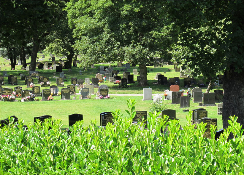
Burslem Cemetery - opened in 1879
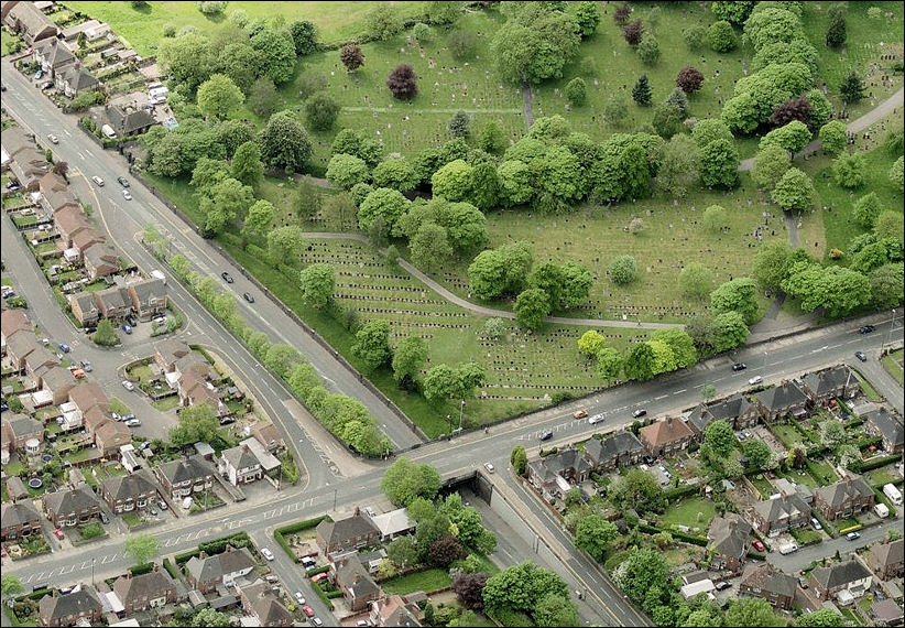
Burslem Cemetery - opened in 1879 


a view of the Bridge on Hanley Road, crossing Leek New Road - Burslem Cemetery in the top right corner

Bing Maps - 2011
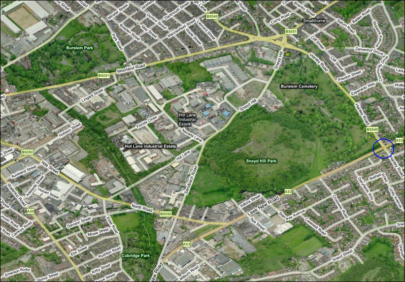


the area around Leek New Road and Hanley Road
Sneyd Hill Park was once the spoli tip of the Sneyd Colliery

Bing Maps - 2011
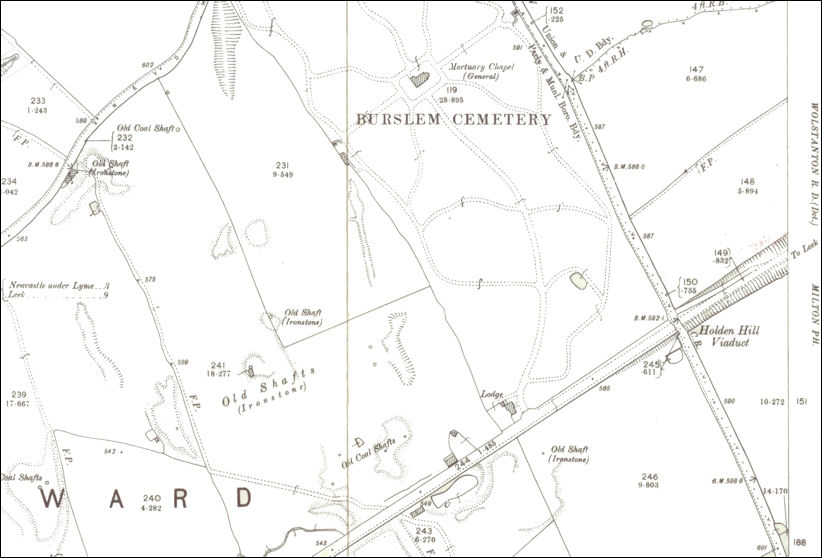


Holden Hill Viaduct
1898 map of the area 
on this map the bridge is called 'Holden Hill' viaduct
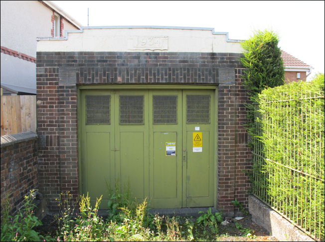


Holden Bridge electricity sub-station - built in 1934
Holden Bridge electricity sub-station - built in 1934 
built in a vague art deco style
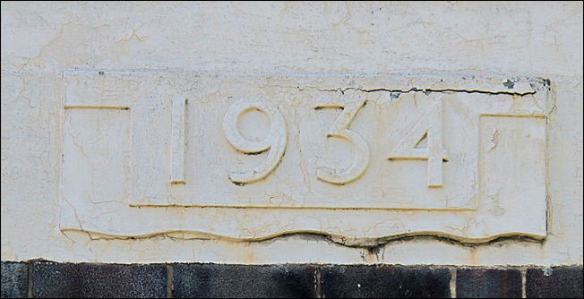


1934 date stone
1934 date stone


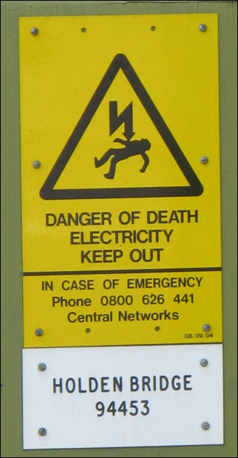
Holden Bridge marker
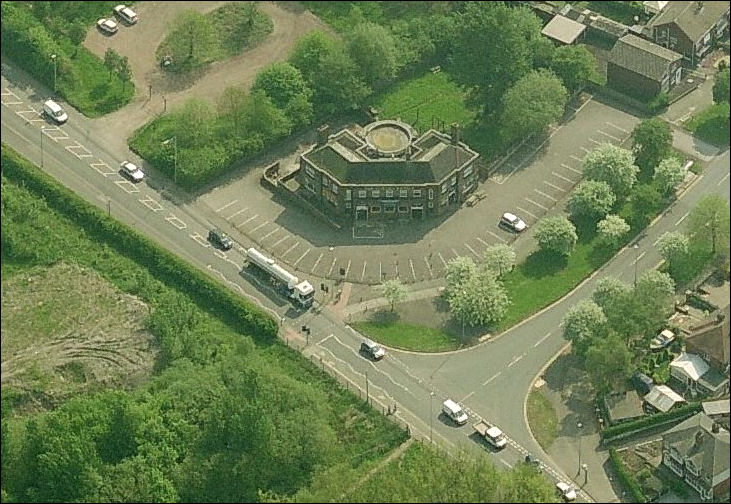


Holden Bridge public house on the corner of Leek New Road and Berwick Road

Bing maps
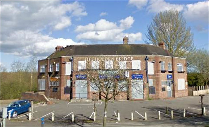


The Holden Bridge - boarded up after it closed in 2007

photo: 'Curmudgeon' 


contents: 2011 photos


related pages

A walk around Burslem Cemetery - Burslem Cemetery opened in 1879 and covers approximately 11.4 hectares (about 28 acres) when it was opened it was intended to be a "a recreation park, to be used for walking, riding and driving" as well as a cemetery and at least a third of the land was taken up with the lodges, chapel, walks & drives. 


also see..

Advert of the Week
Potworks of the Week